West Champaran Tourism
Search related to Bihar Tourism

West Champaran is one of the districts in the state of Bihar, India. It is situated in the northern part of the state and shares its borders with Nepal on its north. The district is named after its administrative headquarters, Bettiah, which is also the largest city in the district.
History
West Champaran has a rich history that dates back to ancient times. The district was a part of the Mithila region, which was ruled by the Videha dynasty. Later, the district came under the rule of the Maurya and Gupta empires. During the medieval period, the district was ruled by various dynasties, including the Sena and the Mughals. The district was also a part of the Bengal Subah during the British Raj.
One of the significant events in the history of West Champaran is the Champaran Satyagraha, which took place in 1917. Mahatma Gandhi, who was then a young lawyer, was invited by the local farmers to help them fight against the exploitative practices of the British colonial rulers. The Satyagraha was successful in achieving the demands of the farmers, and it became a milestone in the Indian freedom struggle.
Geography
West Champaran is located in the northern part of Bihar and covers an area of 5,228 square kilometers. The district is situated at an altitude of 58 meters above sea level. The Gandak River flows through the district, and it is one of the major rivers in the region. The district is mostly plain and fertile, with agriculture being the main occupation of the people.
Demographics
As per the 2011 Census, the population of West Champaran was 3,935,042, making it one of the most populous districts in Bihar. The district has a literacy rate of 52.64%, which is lower than the national average. The major languages spoken in the district are Bhojpuri, Maithili, and Hindi. The majority of the population in the district is Hindu, followed by Muslims and Christians.
Economy
Agriculture is the primary occupation of the people in West Champaran. The district is known for its high-quality sugarcane, mango, and banana production. Besides agriculture, the district has a few small-scale industries that include sugar mills, jute mills, and textile mills. The district is also rich in natural resources like limestone, coal, and oil. The state government is working towards the development of the district's economy by providing various schemes and incentives to entrepreneurs and investors.
Culture
The culture of West Champaran is a mix of Bihari, Maithili, and Hindu traditions. The district has a rich folk music and dance tradition, with various festivals celebrated throughout the year. Chhath Puja, Holi, and Diwali are some of the major festivals celebrated in the district. The people in the district are known for their hospitality and warmth towards visitors.
Tourism
West Champaran has many tourist attractions that are worth visiting. Some of the prominent ones include
- Valmiki National Park It is one of the most popular tourist destinations in the district. The national park is spread over an area of 335 square kilometers and is home to many wildlife species like tigers, leopards, elephants, and deer.
- Someshwar Nath Temple It is an ancient temple dedicated to Lord Shiva and is located in the town of Narkatiaganj. The temple is known for its intricate carvings and beautiful architecture.
- State :
- Bihar
How to Reach West Champaran
Complete List of Tehsils in West Champaran District, Bihar
| S.No | Tehsil / Taluk Name | District Name | State Name |
|---|---|---|---|
| 1 | Bagaha-1 | West Champaran | Bihar |
| 2 | Bettiah | West Champaran | Bihar |
| 3 | Bettiah H.o. | West Champaran | Bihar |
Discover Exciting Places to Visit in Agra, Uttar Pradesh - Your Ultimate Travel Guide
Are you ready to explore the wonders of Agra, Uttar Pradesh? From the majestic Taj Mahal to hidden gems waiting to be discovered, our travel guide unveils the most captivating
Explore Exciting Places to Visit in Mumbai, Maharashtra - Your Ultimate Travel Guide
Ready for an adventure? Mumbai, in the beautiful state of Maharashtra, is packed with amazing places waiting to be explored! From iconic landmarks to hidden gems, Mumbai has something for
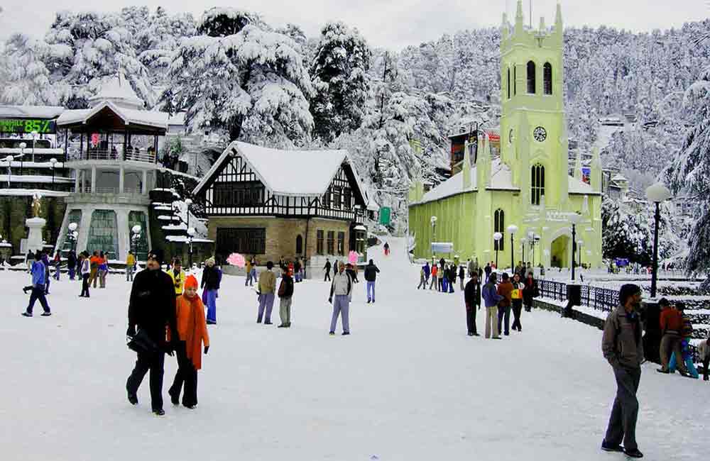
Explore the Wonderful Places to Visit in Manali, Himachal Pradesh - Your Ultimate Guide!
Ready for an exciting adventure? Discover the places to visit in Manali, Himachal Pradesh! From snowy mountains to lush valleys, there's something for everyone. Plan your trip now and explore
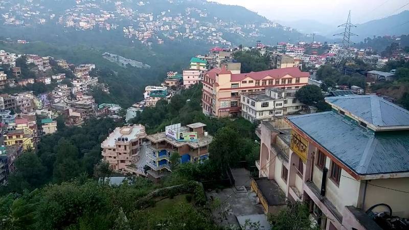
Places to Visit in Solan Himachal Pradesh - Explore the Best Tourist Spots
Discover the enchanting beauty of Solan Himachal Pradesh by exploring its myriad tourist spots. Whether you're seeking adventure or tranquility, Solan has something for everyone. From lush green valleys to
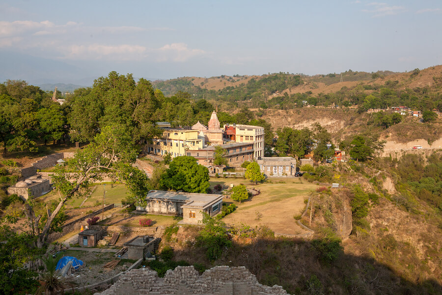
Discover the Best Places to Visit in Kangra, Himachal Pradesh: A Traveler's Guide
Ready for an exciting journey? Kangra, Himachal Pradesh welcomes you with open arms! Explore ancient temples, lush landscapes, and more in this enchanting valley. Let's uncover the best places to
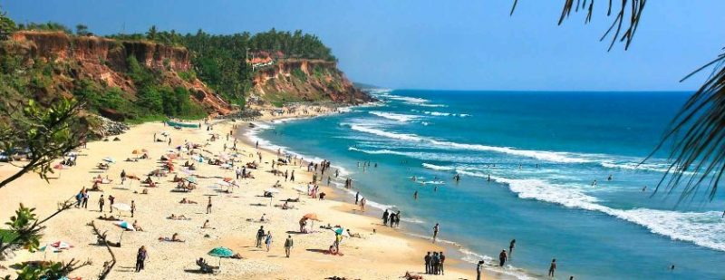
Explore Incredible Places to Visit in Varkala, Kerala: A Guide
Are you ready for an adventure? Varkala in Kerala is waiting for you! Discover the magic of this beautiful place with our guide to the best places to visit. From
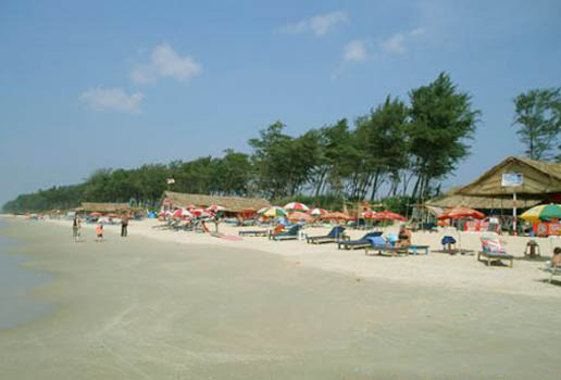
Explore Panaji, Goa: Discover the Best Places to Visit in the City
Ready for an adventure? Panaji, located in Goa, is packed with exciting places to visit. From ancient forts to picturesque beaches, there's never a dull moment in this lively city.
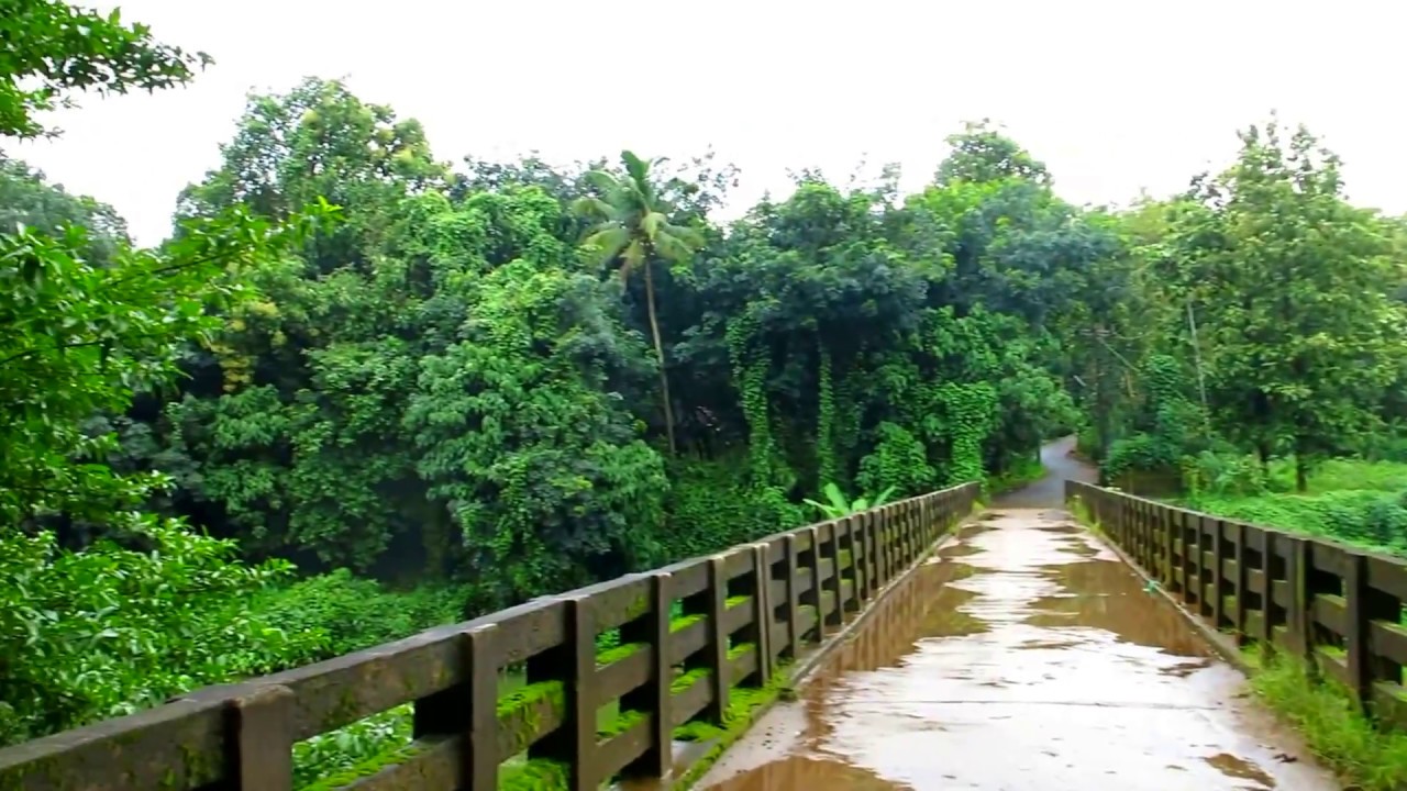
Explore the Best Places to Visit in Thrissur, Kerala – A Perfect Guide for Your Next Adventure!
Are you ready to explore Thrissur, Kerala? Get ready for an exciting journey through this vibrant city! Discover its rich history, stunning landmarks, and fascinating culture. With our guide to
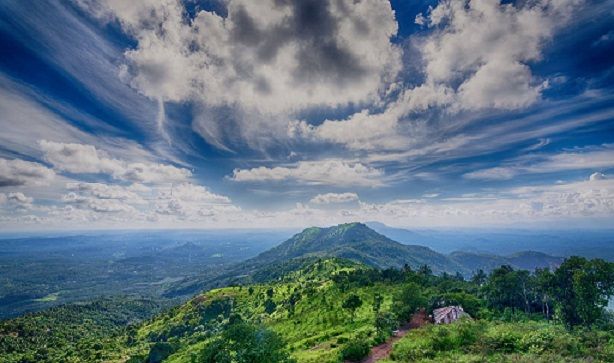
Explore the Best Places to Visit in Malappuram, Kerala - A Traveler's Guide
Dive into the beauty of Malappuram, Kerala with our ultimate travel guide! From picturesque beaches to fascinating historical sites, explore the best places to visit in Malappuram Kerala. Whether you're
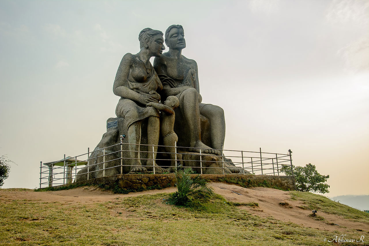
Explore the Best Places to Visit in Idukki, Kerala - A Traveler's Guide
Discover the mesmerizing beauty of Idukki, Kerala with our guide to the best places to visit. From breathtaking landscapes to serene lakes, explore the charm of this enchanting destination. Whether


