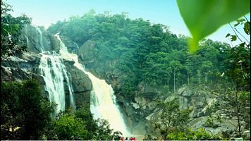
Latehar Tourism
Search related to Jharkhand Tourism

Latehar is a district located in the Indian state of Jharkhand, situated in the Chota Nagpur Plateau region. It is surrounded by Gumla district to the east, Garhwa district to the west, Palamau district to the north, and Ranchi district to the south.
History
Latehar was a part of the Magadha empire during the Mauryan period. Later, it was ruled by the Chero dynasty, followed by the Mughals and the British. During the British Raj, Latehar was a part of the Chota Nagpur Division of the Bengal Presidency.
The district played an important role in India's struggle for independence. Latehar was a center of the Birsa movement, led by Birsa Munda, who fought against the British for the rights of the Adivasi people.
Geography
Latehar district covers an area of 3,703 square kilometers, and it is situated at an average altitude of 410 meters above sea level. It is surrounded by hills and forests and is rich in natural resources like coal, bauxite, and iron ore. The major rivers flowing through the district are the Koel, Auranga, and North Koel.
The district is divided into three subdivisions: Latehar, Barwadih, and Mahuadanr. The Latehar subdivision is further divided into seven blocks: Latehar, Chandwa, Balumath, Barwadih, Garu, Manika, and Mahuadanr.
Demographics
As per the 2011 census, Latehar has a population of 725,673, out of which 51.98% are males and 48.02% are females. The district has a literacy rate of 54.31%, with male literacy at 65.26% and female literacy at 42.30%.
The majority of the population in Latehar is Adivasi, with the Oraon tribe being the largest. Other tribes living in the district include the Munda, Kharia, and Santal. Hindi is the official language of the district, but the local dialects spoken include Oraon, Mundari, and Kharia.
Economy
The economy of Latehar is primarily agricultural, with around 85% of the population engaged in farming. The major crops grown in the district are paddy, maize, wheat, and pulses. Apart from agriculture, the district has mineral resources like coal, bauxite, and iron ore, which contribute to its economy.
The district is also known for its forest resources. The Latehar forest division covers an area of 2,332.52 square kilometers and is home to a variety of flora and fauna. Timber, bamboo, and medicinal plants are some of the forest resources that contribute to the local economy.
Culture
Latehar has a rich cultural heritage, which is reflected in its festivals, music, and dance. The Oraon tribe has a unique dance form called "Sohrai" that is performed during the harvest season. The Santal tribe has a traditional dance called "Chhou," which is performed during religious festivals.
Apart from dance, the district is also known for its folk music, which includes "Jhumar" and "Karma" songs. The traditional musical instruments used in Latehar include the "Mandar," "Dhol," and "Jhanj."
- State :
- Jharkhand
How to Reach Latehar
Complete List of Tehsils in Latehar District, Jharkhand
| S.No | Tehsil / Taluk Name | District Name | State Name |
|---|---|---|---|
| 1 | Balumath | Latehar | Jharkhand |
| 2 | Barwadih | Latehar | Jharkhand |
| 3 | Chandwa | Latehar | Jharkhand |
| 4 | Latehar | Latehar | Jharkhand |
| 5 | Mahuwadand | Latehar | Jharkhand |
| 6 | Mahuwdand | Latehar | Jharkhand |
| 7 | Malumath | Latehar | Jharkhand |
Discover Exciting Places to Visit in Agra, Uttar Pradesh - Your Ultimate Travel Guide
Are you ready to explore the wonders of Agra, Uttar Pradesh? From the majestic Taj Mahal to hidden gems waiting to be discovered, our travel guide unveils the most captivating
Explore Exciting Places to Visit in Mumbai, Maharashtra - Your Ultimate Travel Guide
Ready for an adventure? Mumbai, in the beautiful state of Maharashtra, is packed with amazing places waiting to be explored! From iconic landmarks to hidden gems, Mumbai has something for
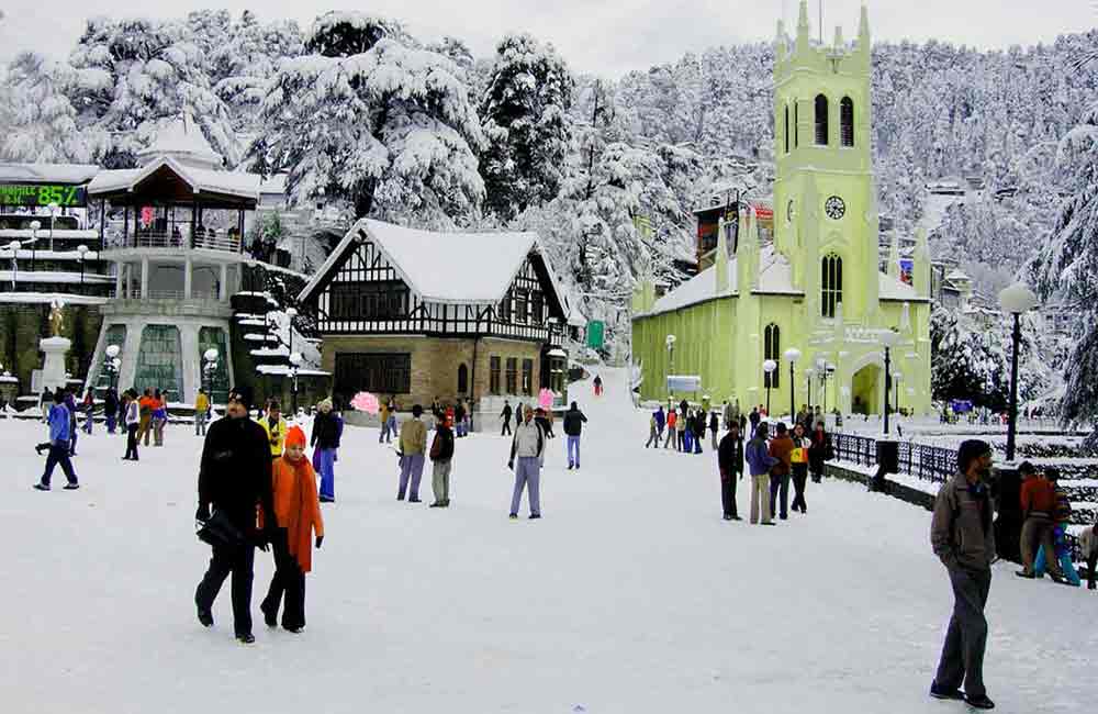
Explore the Wonderful Places to Visit in Manali, Himachal Pradesh - Your Ultimate Guide!
Ready for an exciting adventure? Discover the places to visit in Manali, Himachal Pradesh! From snowy mountains to lush valleys, there's something for everyone. Plan your trip now and explore
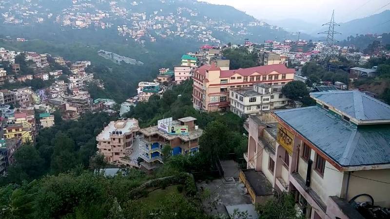
Places to Visit in Solan Himachal Pradesh - Explore the Best Tourist Spots
Discover the enchanting beauty of Solan Himachal Pradesh by exploring its myriad tourist spots. Whether you're seeking adventure or tranquility, Solan has something for everyone. From lush green valleys to
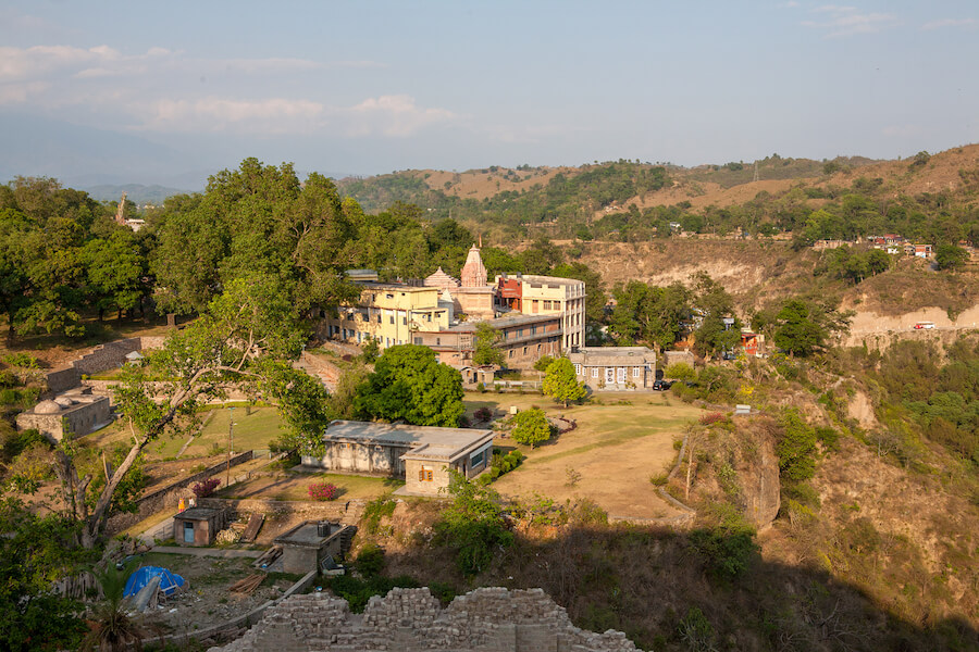
Discover the Best Places to Visit in Kangra, Himachal Pradesh: A Traveler's Guide
Ready for an exciting journey? Kangra, Himachal Pradesh welcomes you with open arms! Explore ancient temples, lush landscapes, and more in this enchanting valley. Let's uncover the best places to
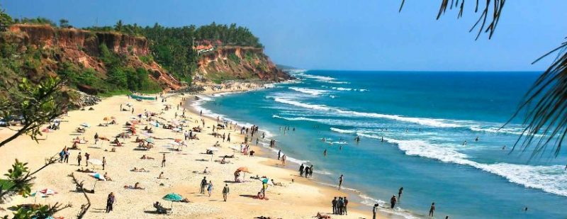
Explore Incredible Places to Visit in Varkala, Kerala: A Guide
Are you ready for an adventure? Varkala in Kerala is waiting for you! Discover the magic of this beautiful place with our guide to the best places to visit. From
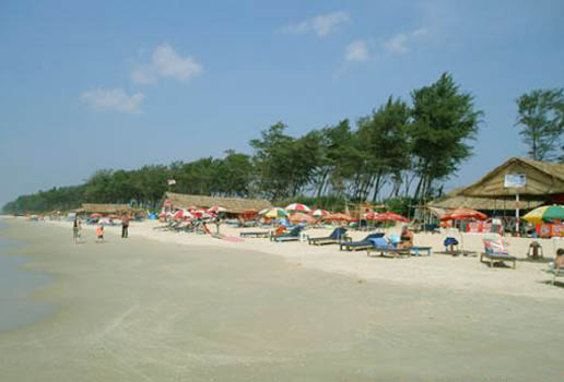
Explore Panaji, Goa: Discover the Best Places to Visit in the City
Ready for an adventure? Panaji, located in Goa, is packed with exciting places to visit. From ancient forts to picturesque beaches, there's never a dull moment in this lively city.
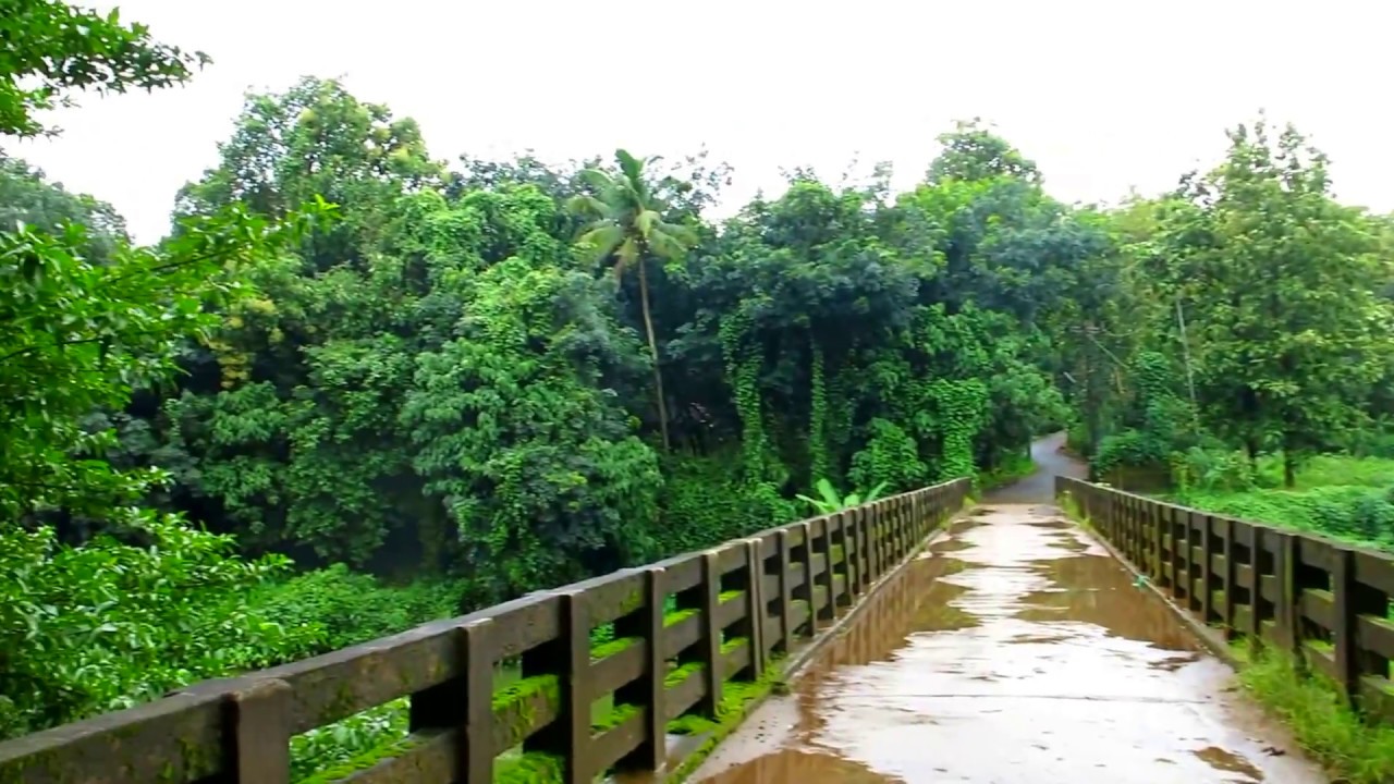
Explore the Best Places to Visit in Thrissur, Kerala – A Perfect Guide for Your Next Adventure!
Are you ready to explore Thrissur, Kerala? Get ready for an exciting journey through this vibrant city! Discover its rich history, stunning landmarks, and fascinating culture. With our guide to
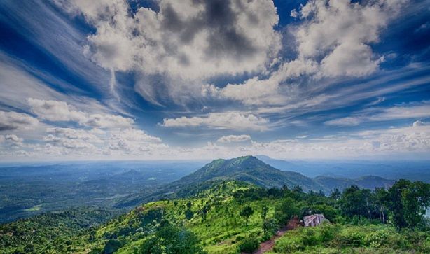
Explore the Best Places to Visit in Malappuram, Kerala - A Traveler's Guide
Dive into the beauty of Malappuram, Kerala with our ultimate travel guide! From picturesque beaches to fascinating historical sites, explore the best places to visit in Malappuram Kerala. Whether you're
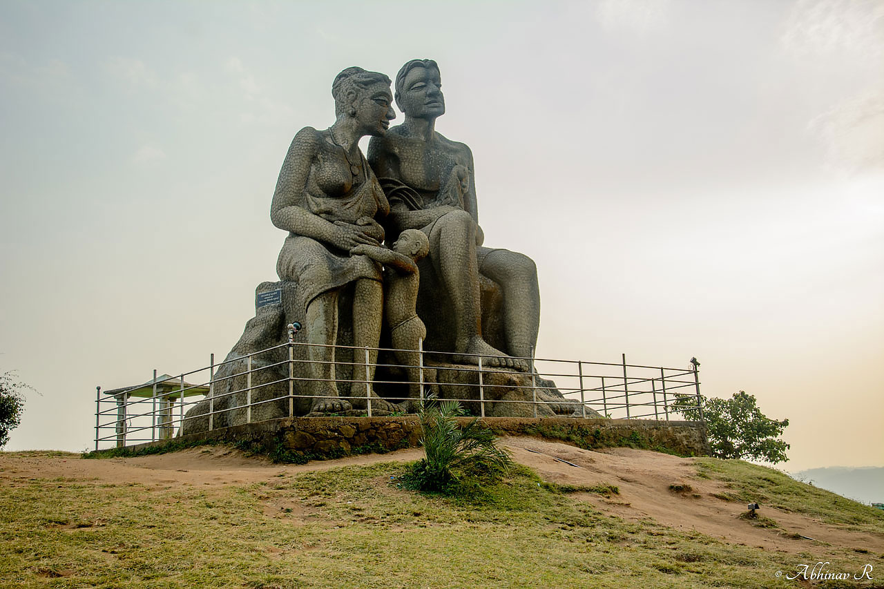
Explore the Best Places to Visit in Idukki, Kerala - A Traveler's Guide
Discover the mesmerizing beauty of Idukki, Kerala with our guide to the best places to visit. From breathtaking landscapes to serene lakes, explore the charm of this enchanting destination. Whether


