Hailakandi Tourism
Search related to Assam Tourism

Hailakandi is a small district located in the southernmost part of the Indian state of Assam. The district is bounded by the Barak River on its south and Mizoram on its east. It has a rich history, diverse geography, unique demographics, vibrant economy, colorful culture, and significant tourism potential.
History
Hailakandi has a rich history that dates back to the pre-colonial period. The region was ruled by the Kachari Kingdom, which was later overthrown by the Ahom Dynasty in the 16th century. The Ahoms ruled the region until the British annexed it in 1826. During the British era, Hailakandi was a part of the Sylhet district of Assam. After India gained independence in 1947, Hailakandi became a part of the Indian state of Assam.
Geography
Hailakandi is located in the southernmost part of Assam, at an altitude of 22 meters above sea level. The district covers an area of 1,327 square kilometers and is surrounded by the Barak River on its south and Mizoram on its east. The district is divided into two subdivisions, Hailakandi and Lala, and is further divided into five revenue circles, Hailakandi, Algapur, Katlicherra, Lala, and South Hailakandi. The district is known for its lush green forests, rolling hills, and numerous rivers and streams.
Demographics
Hailakandi has a diverse population, with people belonging to different ethnic and religious backgrounds. According to the 2011 Census of India, the district had a population of 659,296, with a sex ratio of 957 females per 1000 males. The literacy rate of the district is 77.36%, which is higher than the national average. The district has a significant Muslim population, with around 57% of the population being Muslim. The remaining population comprises Hindus, Christians, and other religions.
Economy
The economy of Hailakandi is predominantly based on agriculture. The district is known for its production of crops like rice, jute, tea, and betel nut. The district is also home to several small-scale industries, including handloom weaving, cane and bamboo handicrafts, and furniture making. In recent years, the district has seen the emergence of the hospitality sector, with several hotels and resorts coming up in the region. The district is also known for its tea gardens, which are a significant source of employment for the local population.
Culture
Hailakandi has a vibrant and colorful culture, which is influenced by the diverse ethnic and religious backgrounds of its population. The district is known for its folk music and dance forms, including Bihu, Jhumur, and Ojapali. The district is also famous for its traditional handicrafts, including cane and bamboo products, handloom textiles, and wood carvings. The local cuisine of the district is a blend of Assamese, Bengali, and Mizo cuisines and is known for its use of local spices and herbs.
Tourism
Hailakandi has significant tourism potential, owing to its natural beauty, rich history, and vibrant culture. The district is home to several tourist attractions, including
- Kachakanti Temple The Kachakanti Temple is a popular pilgrimage site for Hindus and is known for its beautiful architecture and serene surroundings.
- Kalamcherra Tea Estate The Kalamcherra Tea Estate is one of the oldest tea gardens in the district and is known for its beautiful views and delicious tea.
- State :
- Assam
How to Reach Hailakandi
Complete List of Tehsils in Hailakandi District, Assam
| S.No | Tehsil / Taluk Name | District Name | State Name |
|---|
Discover Exciting Places to Visit in Agra, Uttar Pradesh - Your Ultimate Travel Guide
Are you ready to explore the wonders of Agra, Uttar Pradesh? From the majestic Taj Mahal to hidden gems waiting to be discovered, our travel guide unveils the most captivating
Explore Exciting Places to Visit in Mumbai, Maharashtra - Your Ultimate Travel Guide
Ready for an adventure? Mumbai, in the beautiful state of Maharashtra, is packed with amazing places waiting to be explored! From iconic landmarks to hidden gems, Mumbai has something for
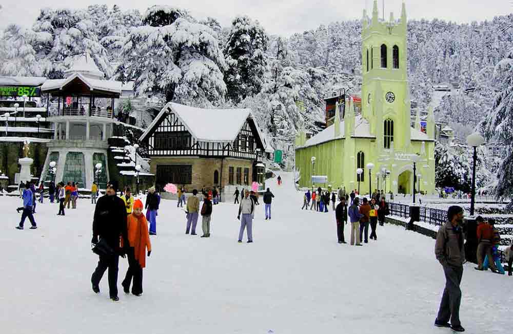
Explore the Wonderful Places to Visit in Manali, Himachal Pradesh - Your Ultimate Guide!
Ready for an exciting adventure? Discover the places to visit in Manali, Himachal Pradesh! From snowy mountains to lush valleys, there's something for everyone. Plan your trip now and explore
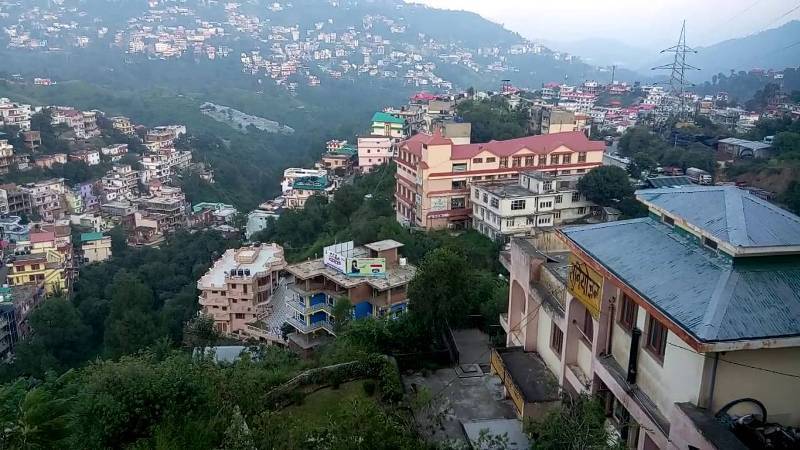
Places to Visit in Solan Himachal Pradesh - Explore the Best Tourist Spots
Discover the enchanting beauty of Solan Himachal Pradesh by exploring its myriad tourist spots. Whether you're seeking adventure or tranquility, Solan has something for everyone. From lush green valleys to
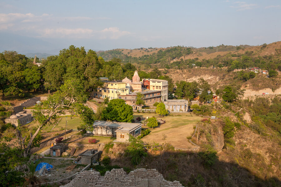
Discover the Best Places to Visit in Kangra, Himachal Pradesh: A Traveler's Guide
Ready for an exciting journey? Kangra, Himachal Pradesh welcomes you with open arms! Explore ancient temples, lush landscapes, and more in this enchanting valley. Let's uncover the best places to
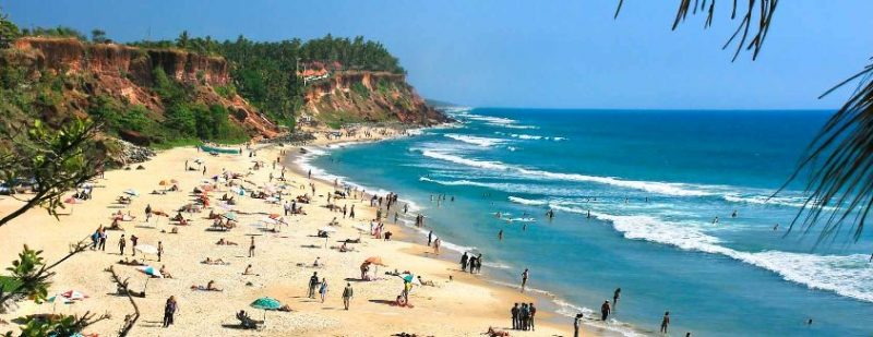
Explore Incredible Places to Visit in Varkala, Kerala: A Guide
Are you ready for an adventure? Varkala in Kerala is waiting for you! Discover the magic of this beautiful place with our guide to the best places to visit. From
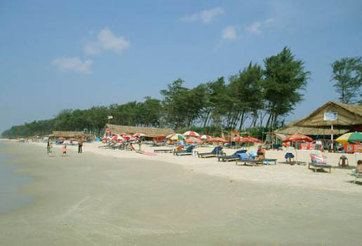
Explore Panaji, Goa: Discover the Best Places to Visit in the City
Ready for an adventure? Panaji, located in Goa, is packed with exciting places to visit. From ancient forts to picturesque beaches, there's never a dull moment in this lively city.
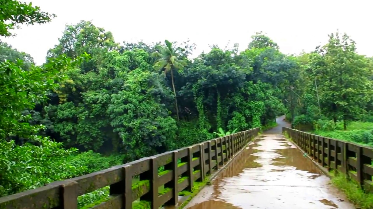
Explore the Best Places to Visit in Thrissur, Kerala – A Perfect Guide for Your Next Adventure!
Are you ready to explore Thrissur, Kerala? Get ready for an exciting journey through this vibrant city! Discover its rich history, stunning landmarks, and fascinating culture. With our guide to
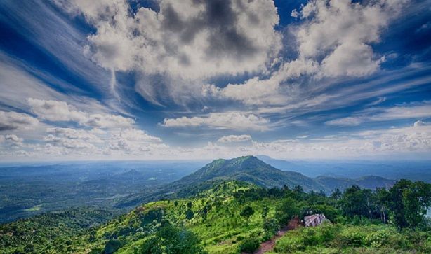
Explore the Best Places to Visit in Malappuram, Kerala - A Traveler's Guide
Dive into the beauty of Malappuram, Kerala with our ultimate travel guide! From picturesque beaches to fascinating historical sites, explore the best places to visit in Malappuram Kerala. Whether you're
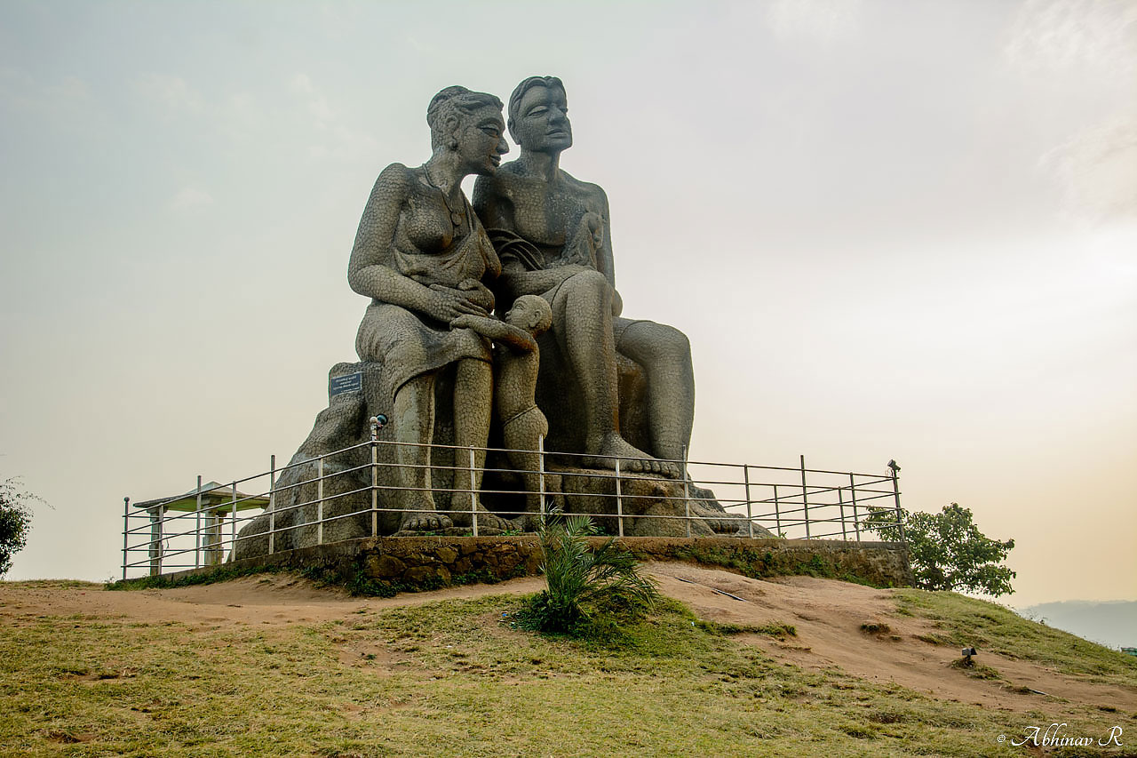
Explore the Best Places to Visit in Idukki, Kerala - A Traveler's Guide
Discover the mesmerizing beauty of Idukki, Kerala with our guide to the best places to visit. From breathtaking landscapes to serene lakes, explore the charm of this enchanting destination. Whether
Top Stories
-

Explore the Charming Attractions: A Comprehensive Guide to the Best Places to Visit in Tezpur
-

Archaeological Site Museum, Sri Suryapahar
-

Here is 1 Best Places to visit in Dispur in 2024 you must add in your Travel List
-

Here is Best Places to visit in Silchar in 2024 you must add in your Travel List
-

Here is 2 Best Places to visit in Tinsukia in 2024 you must add in your Travel List


